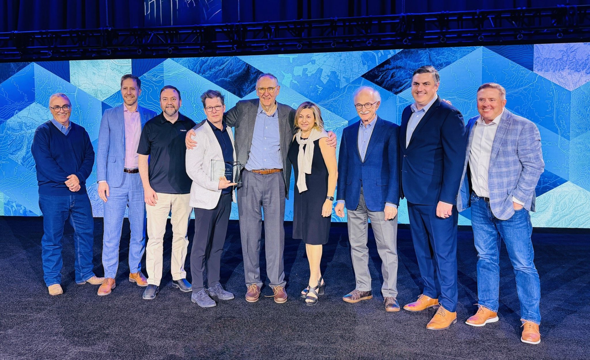
Raven Connected is pleased to announce that it has been named the recipient of the Esri Partner Content Delivery Award for 2026. The distinction was presented this past weekend at the Esri Partner Conference in Palm Springs, California.
Selected from a global network of over 3,000 partners, Raven Connected was one of only 10 organizations recognized this year. The award highlights our commitment to delivering high-value, ready-to-use content that enhances ArcGIS workflows and enables municipal leaders to make data-driven decisions regarding urban mobility.
Addressing the Discrepancy in Roadway Data
Modern cities manage complex infrastructure through digital permitting systems. While these systems provide a record of authorized roadwork, they often lack a real-time connection to the physical street. Discrepancies occur when permits expire but obstructions remain, or when unauthorized closures impede traffic flow without prior notification.
Traditionally, identifying these issues required manual patrols or reactive responses to public complaints. Our collaboration with Esri Canada addresses this gap by integrating real-time street view imagery with geographic information systems (GIS).
The Power of Integrated Systems
The success of this solution lies in the interoperability between two specialized platforms:
- Raven Connected: Our AI-powered onboard units serve as a distributed sensor network across municipal fleets, providing high-fidelity “ground truth” imagery of road conditions, alongside V2x connectivity and messaging.
- Esri Canada: The ArcGIS platform and Transportation-GeoXchange® (TGX) provide the necessary spatial context and permit data.
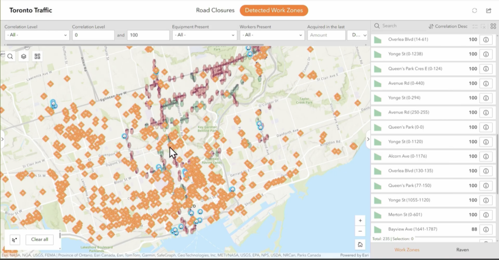
By correlating Raven’s visual detections with the city’s permit database in real-time, the system automatically identifies unpermitted closures. These are flagged as “red polygons” on traffic management dashboards, allowing authorities to prioritize enforcement and reclaim road capacity.
Collaborative Innovation in ITS
The complexity of modern infrastructure challenges requires a collaborative approach to technology. This award-winning solution demonstrates that effective Intelligent Transportation Systems (ITS) are built on the principle of interoperability rather than proprietary silos.
As Daniel Kligerman, Director of Intelligent Transportation Solutions at Esri Canada, noted, “Raven Connected extends the value of ArcGIS by delivering high-quality, real-time content sourced from vehicles already on the road.”
By allowing both specialized platforms to communicate, we have transformed raw visual data into an actionable tool for municipal efficiency. We are honored to be recognized by Esri and remain dedicated to our foundational partnership within the TGX ecosystem. Looking ahead, we are committed to evolving this collaboration, continuing to push the boundaries of spatial intelligence to meet the future demands of urban mobility and infrastructure management.

Read the full press release from Esri Canada here.
The lane closure solution, powered by the TGX, was demonstrated at the 2025 Esri Canada User Conference. Watch the video.
For more information on implementing this solution, please contact our government relations team at gov@ravenconnected.com.


Comments are closed